The Evolution of City Mapping Through AI
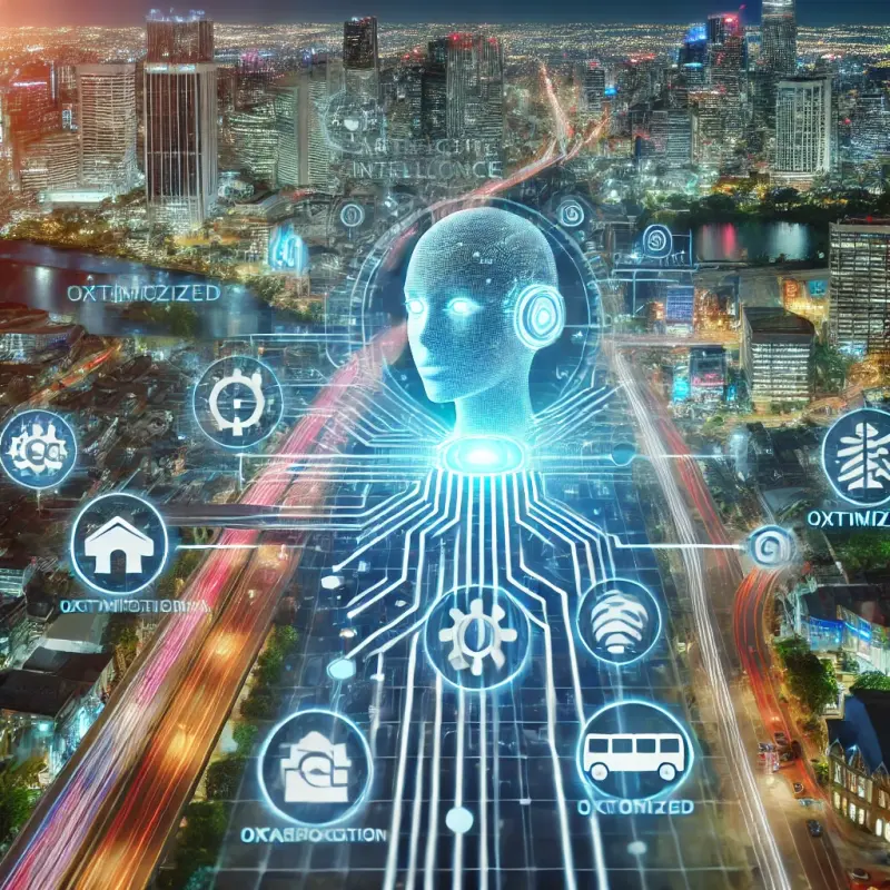
Artificial intelligence (AI) has redefined urban navigation, bringing a level of precision and interactivity to city maps that was unimaginable a decade ago. With algorithms capable of analyzing vast datasets in real time, AI-powered maps are now an integral part of modern urban life. They not only display static information but dynamically respond to changes in traffic, weather, and user preferences.
This transformation has been fueled by the integration of advanced machine learning techniques and real-time data analytics. These technologies enable maps to learn from patterns, predict trends, and deliver the most efficient routes for commuters, cyclists, and pedestrians.
From Static Maps to Interactive Tools
Traditional paper maps, though iconic, offered limited functionality. They were static and required users to interpret the data manually. The advent of digital mapping platforms marked a significant leap forward, but it is the incorporation of AI that has turned these platforms into smart, interactive tools.
Modern AI-enhanced maps allow users to interact with city layouts in unprecedented ways. Whether it’s zooming into specific neighborhoods to locate a coffee shop or visualizing the fastest way to cross the city during rush hour, these maps are personalized and context-aware.
For example, AI systems process user preferences, such as avoiding toll roads or prioritizing scenic routes, to offer tailored navigation solutions. By integrating user feedback, these maps continually improve, ensuring that the suggestions are accurate and user-centric.
The Role of Machine Learning in Route Optimization
At the core of route optimization lies machine learning (ML), a subset of AI that enables systems to learn and improve from data without explicit programming. ML algorithms analyze various factors, such as:
- Traffic Patterns: By analyzing historical and real-time traffic data, AI predicts congestion and suggests alternative routes.
- Weather Conditions: AI systems adjust recommendations based on weather changes, like avoiding flood-prone areas during heavy rain.
- Public Transit Schedules: Interactive maps integrate live updates from public transportation networks to provide accurate arrival times and multi-modal route options.
These features are not limited to individual users. Urban planners and local governments utilize AI-driven maps to design smarter transportation systems, optimize public transit routes, and reduce overall city congestion.
Real-Time Data: The Backbone of Interactive Maps
AI-driven maps are powered by real-time data streams from sensors, GPS devices, and user interactions. These streams ensure that the maps are always up-to-date, reflecting the dynamic nature of urban environments.
For instance, real-time updates enable ride-hailing services to adjust their routes on the fly, ensuring efficient pick-ups and drop-offs. Similarly, logistics companies rely on AI to optimize delivery routes, cutting down on fuel consumption and improving service times.
Furthermore, AI algorithms can detect anomalies, such as sudden road closures or accidents, and immediately reroute users. This adaptability reduces frustration and helps users save time.